 North Star Gate
 Filling Bird
Walking & ground travel · iPhone & iPad
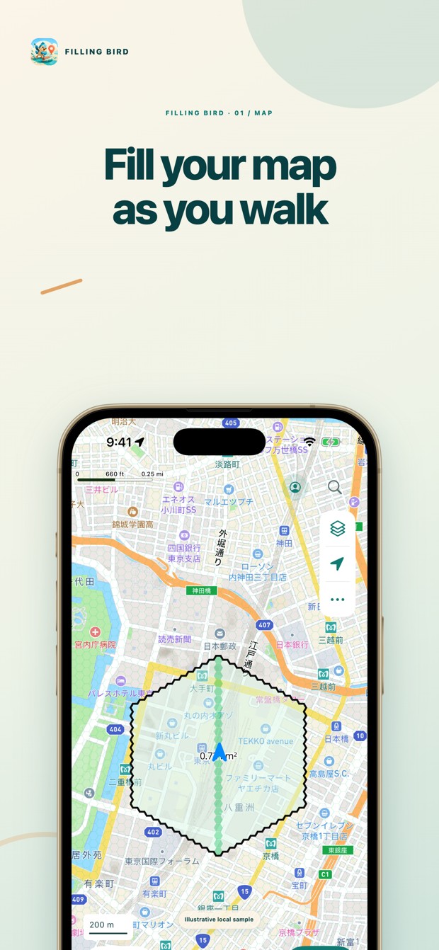
Fill your map as you travel.
Turn walks, runs, and ground journeys into a map of places you have covered. Compare Walking and Transportation, keep places worth revisiting, and grow your progress alone or with a team.

A closer look
Two views of your travels, with saved places, visited areas, badges, and optional team sharing.
See every ground journey
Walking counts step-confirmed walks and runs. Transportation also records ground travel by car, train, or bicycle. Eligible GPS gaps fill with estimated routes you can review or remove. Switching views keeps the same recording session running.
Recover a missing walk
Review recorded gaps, trace the path you actually walked, and preview new hexagons before saving. Eligible corrections require recorded movement evidence and must be saved within 24 hours.
Keep places worth revisiting
Save a park, café, or viewpoint with notes and photos. Search Japan with combined OpenPOI and OpenStreetMap results, then keep a place on your map.
Find your next milestone
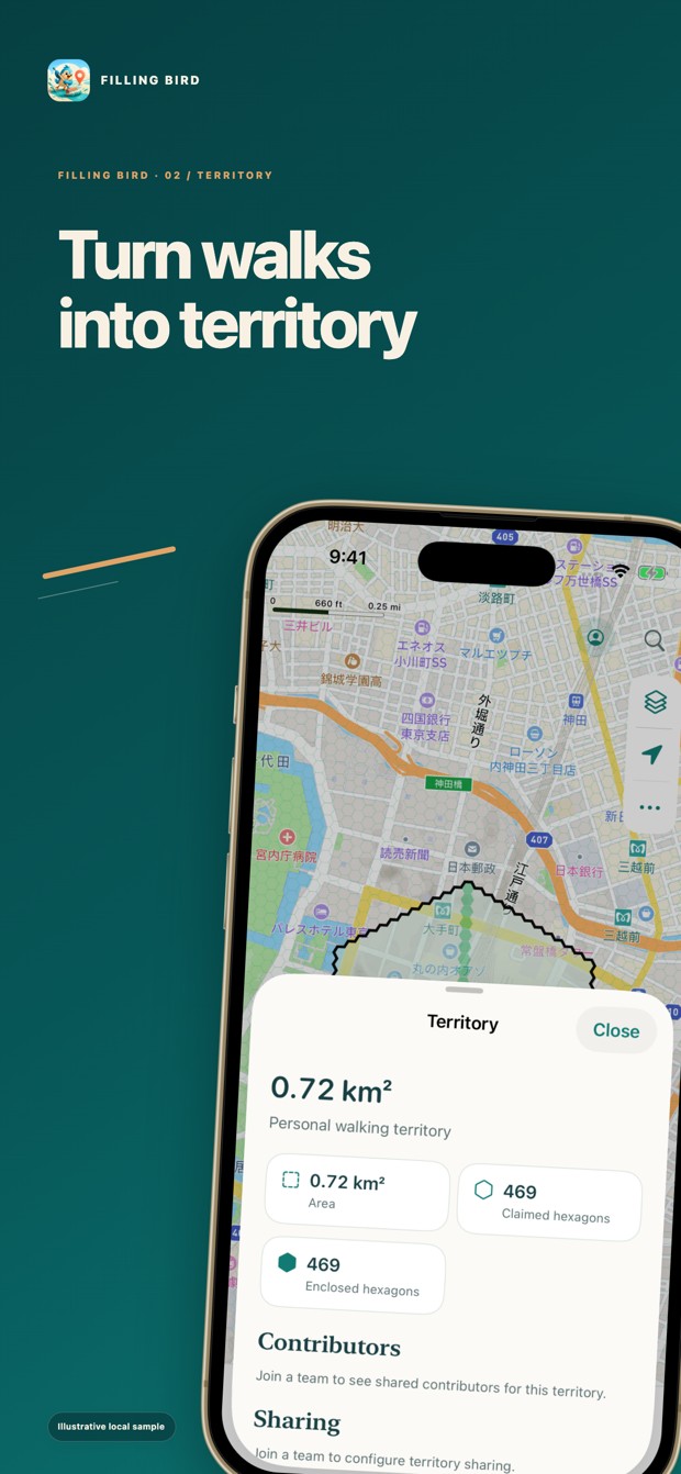
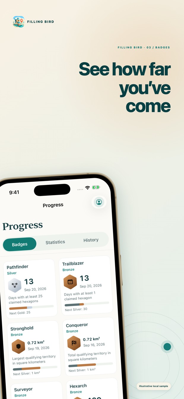
Review your daily activity, visited areas, and territory badges in each mode. Share selected territory with a team and compare progress in mode-specific rankings.
Keep travel details together
Save transportation and hotel bookings beside your itinerary. Keep local times, seats, confirmation numbers, hotel contacts, and optional check-in times ready to find.
Know what your trip costs
Track cash and card costs by currency. Link one ticket to connecting flights and update estimates with settled statement totals. Cost requires sign-in and a connection; exchange-rate estimates can differ from actual charges.
Your progress, in the picture.
Map coverage, territory, and badges give each journey a visible result.
Keep the manual close
Start with a short first-use guide, then return to individual tasks whenever you need them.